Sign in
By creating a member account and using this site you agree to our Terms of Use. This site is protected by reCAPTCHA and the Google Privacy Policy and Terms of Service apply.
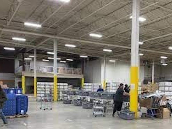
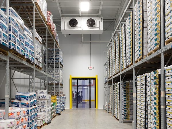
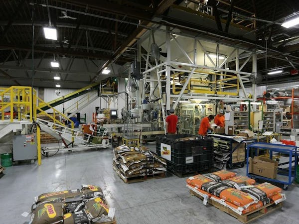
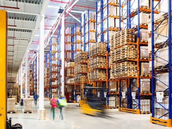
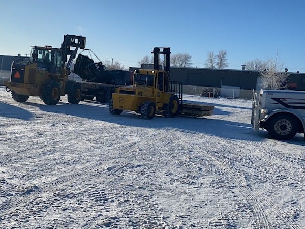
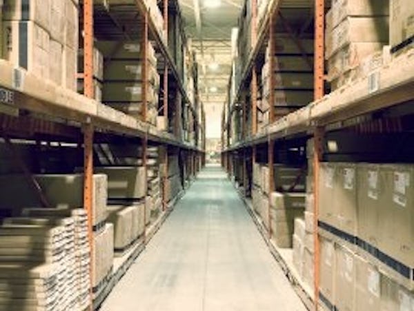
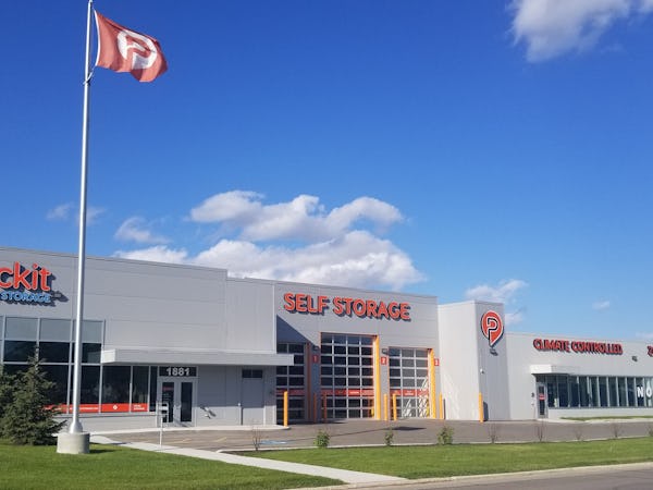
Great Industrial Rental Spaces in Winnipeg, MB, Canada Find a space in for your needs.


Facts and Figures
Winnipeg is Canada's seventh largest city with a population of 179,000 people. The city represents 54.9% of the population of the province of Manitoba and has the highest population concentration in any province in Canada.
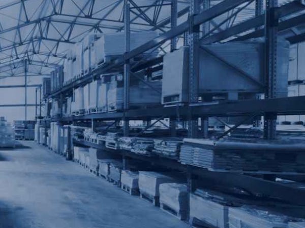
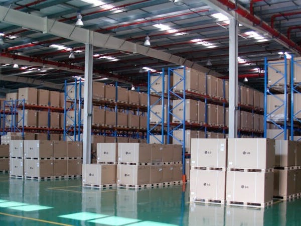
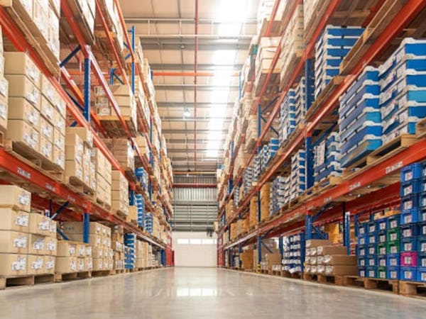
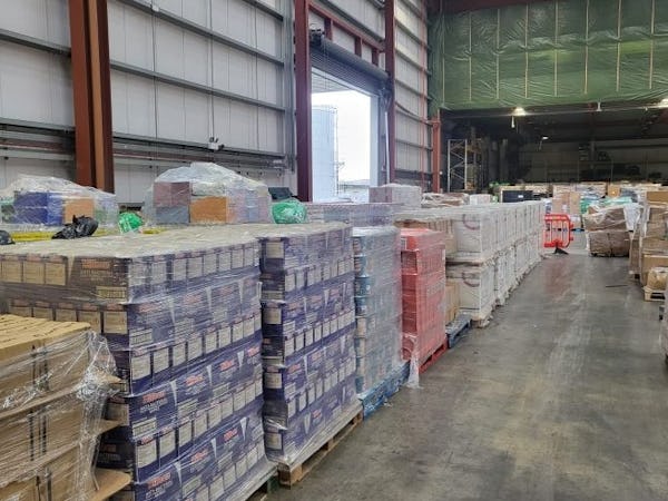
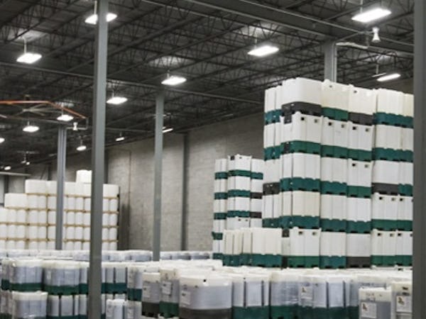
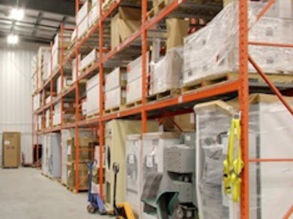
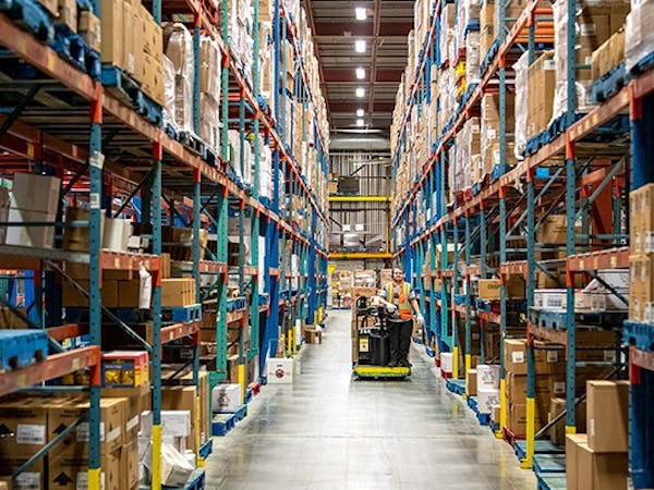
Winnipeg's industrial market has a current inventory of 77.6 million square feet of gross floor space. The Winnipeg Metropolitan Region Industrially Zoned Land consists of about 60 38,593 ac (15,618 ha) land of various intensities and kinds. The majority of industrial land in the region is dedicated to aggregate mining or mine claims, with a somewhat lesser share representing general or heavy industrial land use classifications.
Climate and Geographical Location
The city is located in Western Canada, on the eastern edge of the Canadian Prairies, with a land area of 464.08 km2 (179.18 sq mi). Because of Winnipeg's location on the Canadian Prairies, it has a hot, humid continental climate in the summer and a lengthy, bitterly cold winter. Winters are the coldest and driest months of the year, and with 317.8 days of measurable sunshine each year, making Winnipeg Canada's second sunniest city.
Distance from Other Major Localities
Winnipeg’s industrial lands are spatially allocated in three concentrations that largely exist along existing rail corridors, in the east, the south west, and the northwest. Most of industrially 58 zoned lands fall in the northwest, bordering the Winnipeg James Armstrong Richardson International Airport and CentrePort. Some of the largest tracts of industrial land in Winnipeg are rail yards that do not factor into industrial land use calculations.
Zoning Bylaws
Every parcel of property in Winnipeg is zoned, which regulates how it may be developed. Certain land uses are permitted outright in each zoning district, while others are subject to approval and others are restricted. The zoning divides the city into districts. Zoning can be accomplished in one of two ways: by usage or by rules. The City is governed by Zoning Bylaw 200/06, whereas the Downtown is governed by Zoning Bylaw 100/04. Over half of Winnipeg’s industrial lands are zoned Industrial General (M2), while only 2% are zoned Manufacturing Mixed-use (MMU). Manufacturing Heavy represents another 32% while Manufacturing Light represents 14%. These land use zones represent over 14,500 acres (5,880 ha) of industrially zones lands within the City of Winnipeg.
Major Industries and Companies
Over the last few years, there has been an active construction boom to meet the rising demand for sophisticated industrial products. Winnipeg has a total of 236 neighborhoods. The junction of Portage Avenue and Main Street lies at the center of downtown Winnipeg, the city's financial and economic hub. The Forks, Central Park, Broadway-Assiniboine, and Chinatown are also important downtown districts. The Winnipeg Walkway connects several of the city's main structures. The city is surrounded by residential neighborhoods in all directions; growth is strongest to the south and west, while some sections remain undeveloped.
Space4RentNetwork is designed to help maximize the optimization of available unused space. If you have unused space available, list it today and start generating revenue. If you are looking for space for an upcoming project, take a look at what is available today!
Helpful Links
Contact Us
The Space4Rent (S4R) Network of sites
© 2026 Space4RentNetwork. All Rights Reserved.